| River Elid | ||||
|---|---|---|---|---|
 | ||||
| Released | 26 April 2005 (Update) | |||
| Members | Yes | |||
| Location | Kharidian Desert | |||
| Map | ||||
| Advanced data | ||||
| Type | river | |||
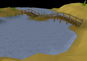
The River Elid begins just east of the Shantay Pass and flows across the Kharidian Desert. There are three bridges across this river. The northernmost bridge is close to the Shantay Pass and leads into the Uzer Hunter area, and then on into the Ruins of Uzer. The next bridge is south-west of Pollnivneach. The final bridge joins Sophanem to Menaphos, but the bridge is blocked on the Menaphos side.
The section of the river south of Pollnivneach is home to the crocodiles, a possible Slayer assignment from Vannaka.
Trivia
- The word Elid backwards is Dile, which may be a play on words for the Nile River, acknowledging the crocodiles that reside nearby.